History
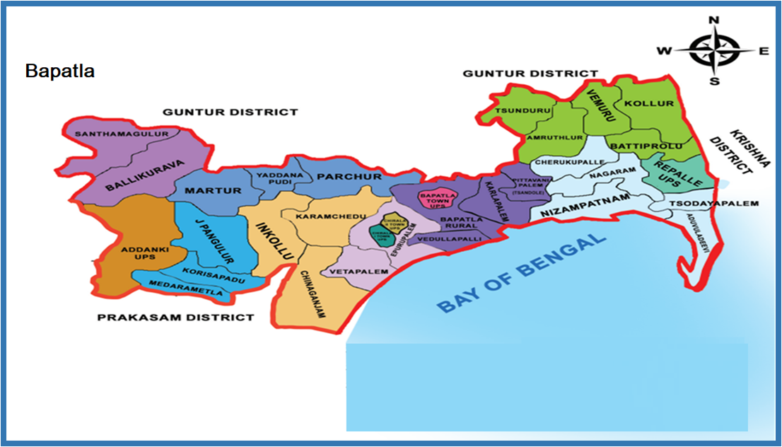
On 04.04.2022 Bapatla district was formed in the state of Andhra Pradesh. It lies in the delta on the southeast coast of India where the Krishna River empties into the Bay of Bengal. The district covers a total geographical area of 3,83,000 sq. km and had a population of 15,87,000 as per the 2011 census. The coastline spans approximately 74 kilometers. Key administrative buildings such as the Collectorate and SP office are located in APHRDI, Bapatla Town. Major occupations include fisheries, granite work, and agriculture. Key crops are paddy, tobacco, cotton, and chillies.
District Wings
On 04.04.2022, Bapatla District was newly created from parts of Guntur Rural and Prakasam Districts for administrative purposes. It comprises:
- Sub-Divisions – 03
- Circles – 13
- Police Stations – 32
- District Special Branch – 1
- District Crime Records Bureau – 1
- DTRB – 1
- Police Control Room – 1
- Counter Intelligence Cell – 1
- AR Unit – 1
- MT Section – 1
- Finger Print & Clues Team – 1
- IT-Core team – 1
Places to Visit
Popular tourist destinations include:
- Sri Prasannanjeyna Swamy Temple, Singarakonda
- Bagalamukhi Devi Temple, Chenndolu
- Morthata Sivalayam Temple, Repalle
- Buddhist Museum, Battiprole
- Surya Lanka Beach & Golden Sands Resort, Bapatla
- Seabreeze & Rivera Resorts, Chirala
- Jillellamudi Amma Temple, Bapatla
- Sivalayam Temple, Govada Village, Amurthalur Mandal